LOCAL NEWS
Rain now, snow possible overnight: what to expect for Christmas weather
Dec 24, 2021, 4:59 PM | Updated: Aug 15, 2022, 11:17 am
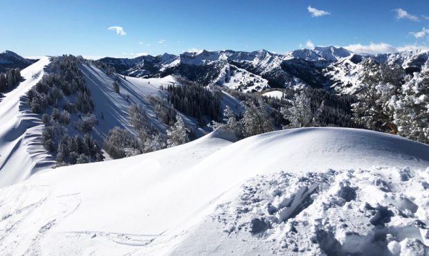
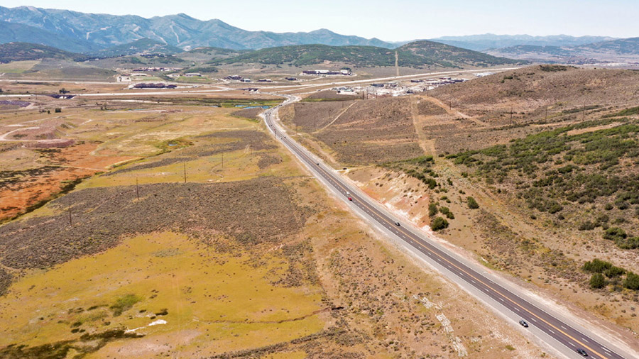
A view of the snowpack from the top of 9990' lift in Park City. (Jed Boal/KSL TV)
(Jed Boal/KSL TV)

SALT LAKE CITY—With light showers throughout the day it looked less certain that there would be snow across the Wasatch Front. However, the forecast shows for a possibility of snow overnight and into the weekend.
Along the Wasatch Front, Friday’s Christmas Eve comes with a high of 45 degrees and light showers while Saturday has a high of 43 degrees with a low of 30 degrees and a 30% chance of snow.
Going into Christmas Day here’s the forecast for the following areas and their likelihood of snow to make for a white Christmas:
- Logan has a high of 37 and a low of 22 with a 40% chance of snow
- Ogden has a high of 41 and a low of 28 with 30% chance of rain/snow showers.
- Provo has a high of 42 and a low of 29 with a 40% chance of rain or snow showers.
- Park City faces a high of 34 with a low of 22 and a 50% chance of snow with a weather advisory in place until 5 a.m. Saturday morning.
- Moab has a high of 51 and a low of 21 with only a 10% chance of rain.
- Cedar City has a high of 42 and a low of 27 with a 20% chance of rain, but 50% chance of snow coming Sunday.
A few weather advisories were put out for driving conditions in some areas from the Salt Lake City National Weather Service.
Heads up between Curlew Jct and Snowville. Heavy snow with visibility a 1/4 mile or less and wind gusts up to 40 mph with this snow squall will create brief near whiteout conditions and slick roads. Slow down and be prepared for rapidly changing conditions! #utwx https://t.co/K1DzSxaqEJ
— NWS Salt Lake City (@NWSSaltLakeCity) December 24, 2021
UHP advises everyone to slow down in winter conditions and beware of black ice after several accidents in the last week.
![[File] Utah Highway Patrol State Trooper car (Laura Seitz, Deseret News)...](https://staging.ksltv.com/wp-content/uploads/2022/12/UHP-State-Trooper-Car-file-121222.jpg)