WEATHER
More snow piles up Sunday and it’s not over yet
Mar 26, 2023, 2:13 PM | Updated: Mar 27, 2023, 6:00 am
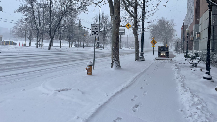
Salt Lake City woke up to snow acculations Sunday. (Shelby Lofton/KSL TV)
(Shelby Lofton/KSL TV)

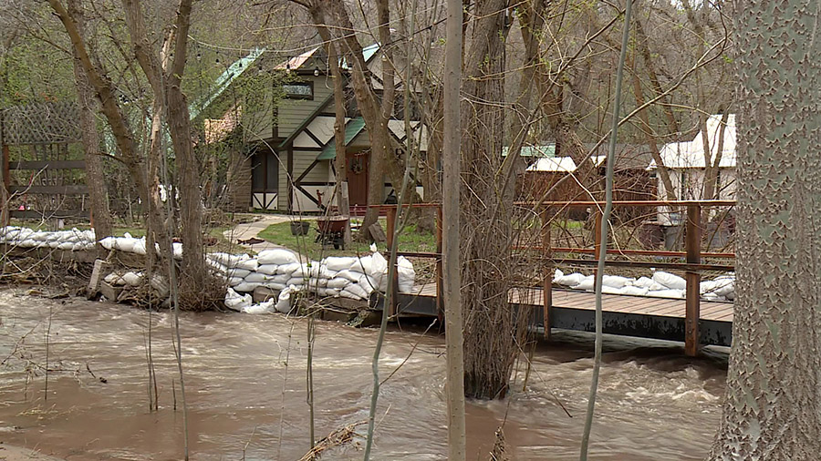
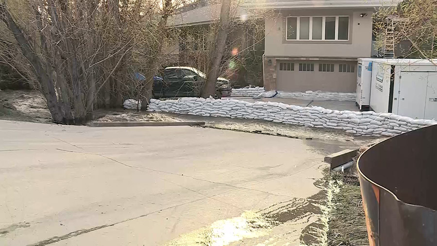
SALT LAKE CITY – Even though Utah already set a record for peak snow water equivalent last week, the snow kept falling in northern Utah Sunday and that storm is not completely done just yet.
“The snow really has not stopped,” said McKenzie Skiles, an assistant professor at the University of Utah, and head of the Snow Hydrology Research to Operations Lab. Friday she said, “This winter we’ve just been getting storm after storm after storm, and we have finally just matched the record for peak snow water equivalent that was set in ’83.”
That record was later eclipsed Friday afternoon.
Low visibility and slick roads in downtown Salt Lake City. Hard to make out the temple!
Will the snow ever end? Asking for a friend. pic.twitter.com/TsYHtVHM8E
— Shelby Lofton (@newswithShelby) March 26, 2023
Sunday morning KSL meteorologist Kristen Van Dyke wrote on Twitter that more snow is coming but it is letting up.
“The snow is not stopping yet, but it is starting to become less intense, and we should see it become more scattered once this main wave comes through. Not a whole lot of plows out just yet, so avoid roads if you can!” her tweet said. “There’s a chance for a few Monday morning snow showers, but by afternoon we will get a break from the clouds and precip. Tuesday stays dry before the next system approaches late Wednesday.”
The snow is not stopping yet, but it is starting to become less intense, and we should see it become more scattered once this main wave comes through. Not a whole lot of plows out just yet, so avoid roads if you can! #utwx pic.twitter.com/Sn8TbRGx9C
— Kristen Van Dyke (@kvandykewx) March 26, 2023
Alta Ski Area and Snowbasin Resort announced new record snow this weekend.
Alta measures snow from October to April 30, and yesterday they beat their previous record from 1981-82 with 749 inches.
In that same season, Snowbasin’s record was 475 inches, and as of 5 a.m. Sunday that record fell as the resort announced a new record of 482 inches.
Eleven… ELEVEN… inches of snow has fallen at @SnowbasinResort since the 5am report! They have now broken their all-time record for snowiest season! Woot! pic.twitter.com/0H2e69afVF
— Wasatch Snow Forecast (@WasatchSnow) March 26, 2023
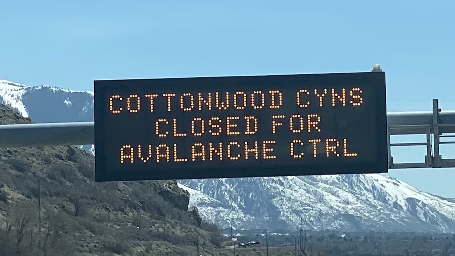
The Utah Avalanche Center tweeted, “The avalanche danger is CONSIDERABLE across all aspects and elevations where human-triggered avalanches are likely. Heavy snowfall and strong winds over the past few days have created a layered and unstable snowpack.”
(3/26/23) Today the avalanche danger is CONSIDERABLE across all aspects and elevations where human-triggered avalanches are likely. Heavy snowfall and strong winds over the past few days have created a layered and unstable snowpack. https://t.co/xRuSiGCnQf pic.twitter.com/cGlv5HKiP9
— UtahAvalancheCenter (@UACwasatch) March 26, 2023
Snowplows were busy Sunday.
The Utah Department of Transportation tweeted that the forecast for state Route 190 and state Route 210 through 6 a.m. Monday included more snow. Snow showers were expected all day Sunday for the upper canyons.
#SR190 #SR210 Road Forecast:
Today thru 6pm: Snow showers likely all day. 2-4" road ❄️ for upper canyons.Tonight thru 6am: Snow showers continue, heavier after 12am. 3-5" more ❄️ likely. Rates may exceed 1"/hour as lake enhanced showers pass over the canyons.@AltaAlerts
— UDOT Cottonwood Canyons (@UDOTcottonwoods) March 26, 2023
The National Weather Service tweeted that its Salt Lake office received nearly 2 1/2 inches of snow in just over an hour Sunday morning.
10AM radar update is showing snow pushing into southern Salt Lake county. Additional snow around the Bountiful area is possible as a lake band is trying to take shape. #utwx pic.twitter.com/HXbfoMgujL
— NWS Salt Lake City (@NWSSaltLakeCity) March 26, 2023