ENVIRONMENT
Utah’s record snowpack: Which basins have collected the most water so far this year?
Mar 28, 2023, 6:16 AM
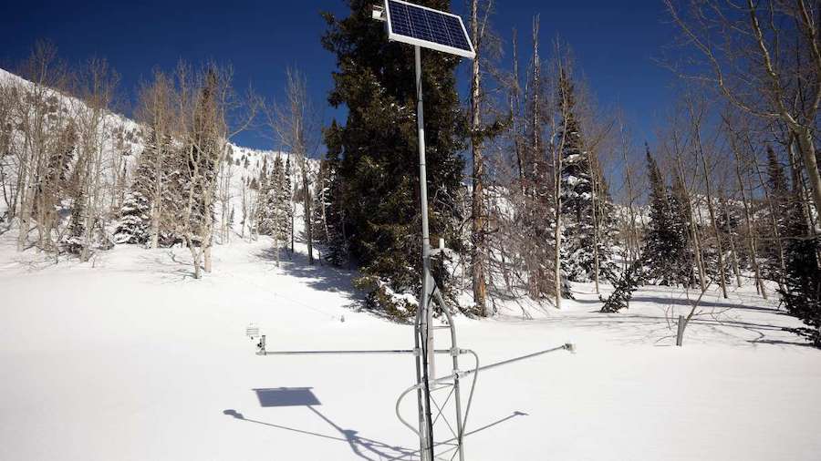
The Atwater snowpack site in Alta, operated by the Natural Resources Conservation Service, is pictured on March 16. The site is a part of the Provo-Utah Lake-Jordan snowpack basin, which broke a record for its highest snowpack this year. (Kristin Murphy/Deseret News)
(Kristin Murphy/Deseret News)

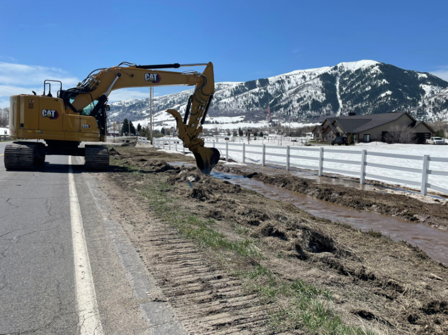
SALT LAKE CITY — Utah’s snowpack continues to climb after soaring past the 26-inch mark on Friday, besting 1983 as the best season in the modern age of snowpack collection records.
This water year’s collection — at 26.7 inches by noon Monday — is also the largest amount Utah has received since at least 1952, according to the Natural Resources Conservation Service. Snowpack collection records before 1980 are hazy because they were conducted manually once a month instead of the daily automated process that began a little over 40 years ago, which is why 2023 is recognized as the record holder.
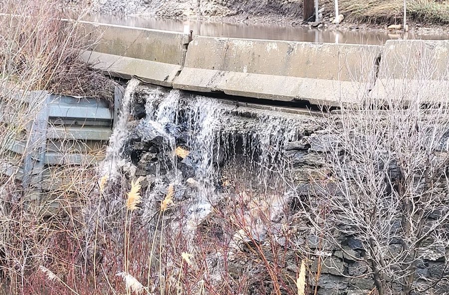
Snowpack is the measure of water contained in the snow, not the amount of snow fallen. Many of Utah’s resorts are now breaking seasonal snowfall records, some reporting over 60 feet of snow since October. But the snow collection and snowmelt process account for about 95% of the state’s water supply, so all eyes are on what’s in the snowpack.
Jordan Clayton, a hydrologist with the agency, notes that records have been set at over two dozen individual sites, paving the way for the statewide record. It’s also helped five of Utah’s 16 snowpack basins break records this season, including the Provo-Utah Lake-Jordan region that feeds the creeks and rivers that flow into Provo River, Utah Lake and Jordan River.
The basin surpassed a previous record of 34.4 inches set in 2011 on Friday. It also leads all basins in water collection so far this year, rising to 35.3 inches by noon Monday.
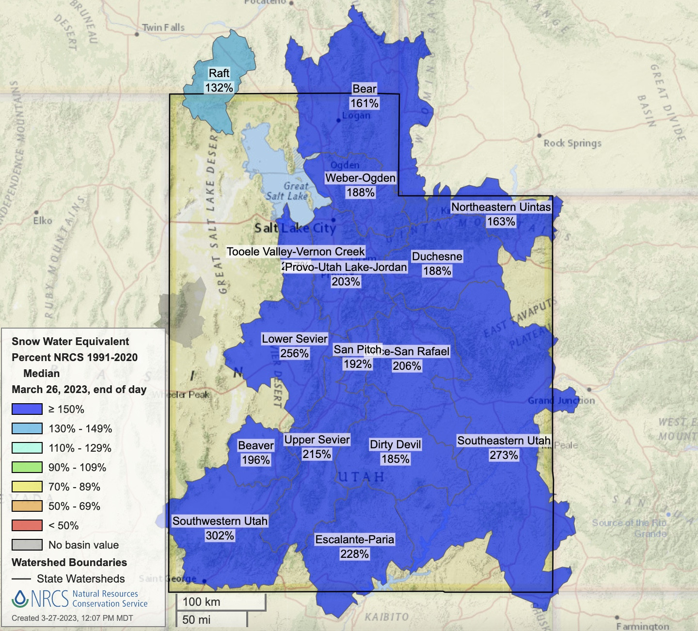
This map shows Utah’s 16 snowpack basins and their levels on Monday compared to the normal for this point in the snow collection season. All basins are well above their seasonal average. (Natural Resources Conservation Service)
All of the basins have exceeded individual seasonal averages, though. Many have even doubled what is normally collected during the snow season. Southwestern Utah, for example, reached 27 inches by noon Monday; its seasonal average peak is 11.7 inches based on the past 30 years.
The regions are all much higher than they were last year, as the current statewide figure is higher than the 2021 and 2022 seasons combined.
Here’s how much water each basin has collected so far this season in the record-breaking year, and how every figure compares to the regional records and 30-year normals, according to Natural Resources Conservation Service as of noon Monday.
Provo-Utah Lake-Jordan
- Current level: 35.3 inches
- Seasonal normal: 19.6 inches
- Last year’s peak: 14.2 inches
- Previous record: 34.4 inches (set in 2011)
Weber-Ogden
- Current level: 34.7 inches
- Seasonal normal: 21.1 inches
- Last year’s peak: 14.4 inches
- Record: 35.4 inches (set in 2011)
Tooele Valley-Vernon Creek
- Current level: 32.9 inches
- Seasonal normal: 15.9 inches
- Last year’s peak: 10.7 inches
- Previous record: 30.1 inches (set in 1998)
Raft
- Current level: 29.1 inches
- Seasonal normal: 24.4 inches
- Last year’s peak: 22.4 inches
- Record: 36.9 inches (set in 2017)
Beaver
- Current level: 27.6 inches
- Seasonal normal: 15.3 inches
- Last year’s peak: 15.2 inches
- Previous record: 27.2 inches (set in 1983)
Lower Sevier
- Current level: 27.4 inches
- Seasonal normal: 15.1 inches
- Last year’s peak: 10.1 inches
- Record: 29.2 inches (set in 1998)
Southwestern Utah
- Current level: 27 inches
- Seasonal normal: 11.7 inches
- Last year’s peak: 10 inches
- Record: 32.7 inches (set in 1983)
Bear
- Current level: 26.9 inches
- Seasonal normal: 18.6 inches
- Last year’s peak: 13.5 inches
- Record: 32.6 inches (set in 1982)
Price-San Rafael
- Current level: 25.8 inches
- Seasonal normal: 10.5 inches
- Last year’s peak: 11.3 inches
- Previous record: 22.9 inches (set in 2005)
Southeastern Utah
- Current level: 25 inches
- Seasonal normal: 10.5 inches
- Last year’s peak: 9.8 inches
- Previous record: 22.9 inches (set in 2005)
San Pitch
- Current level: 24.6 inches
- Seasonal normal: 14.6 inches
- Last year’s peak: 11.3 inches
- Record: 33.4 inches (set in 1984)
Upper Sevier
- Current level: 23.6 inches
- Seasonal normal: 13.8 inches
- Last year’s peak: 10.7 inches
- Record: 27.9 inches (set in 1983)
Duchesne
- Current level: 22.7 inches
- Seasonal normal: 13.9 inches
- Last year’s peak: 11.4 inches
- Record: 24.2 inches (set in 2005)
Dirty Devil
- Current level: 18.1 inches
- Seasonal normal: 11.7 inches
- Last year’s peak: 9 inches
- Record: 27 inches (set in 1984)
Escalante-Paria
- Current level: 18.1 inches
- Seasonal normal: 9 inches
- Last year’s peak: 7.6 inches
- Record: 22.1 inches (set in 2005)
Northeastern Uintas
- Current level: 16 inches
- Seasonal normal: 11.6 inches
- Last year’s peak: 9.3 inches
- Record: 18.3 inches (set in 2005)
More snow on the horizon
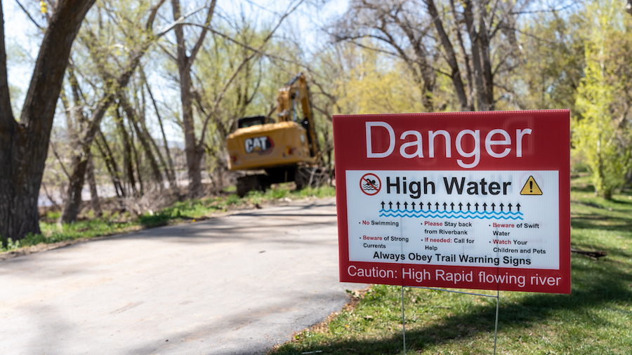
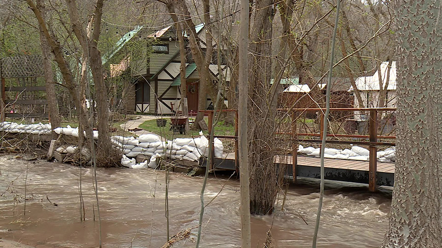
There are also no signs of the record snow stopping in the near future, meaning the statewide snowpack will continue to exceed its previous record and more regions may break records too.
Lake effect snow caused all sorts of issues around the Wasatch Front again on Monday. Another storm system is currently projected to arrive in Utah on Wednesday evening into Thursday.
We are praying too hard, y’all! Looks like another stormy week or two ahead 😳 #utwx pic.twitter.com/zR3xvYvbrC
— Kristen Van Dyke (@kvandykewx) March 26, 2023
Long-range models show a higher probability of storms impacting Utah over the weekend into next week, as well, KSL meteorologist Kristen Van Dyke adds. The National Weather Service’s Climate Prediction Center issued a long-range forest on Sunday that lists all of Utah as having higher odds of above-normal precipitation and below-normal temperatures through at least the first week of April.
It also issued an outlook earlier this month that indicates a higher probability of below-normal precipitation in April overall, so it’s possible that a change in patterns is on the horizon. That could be when the snowmelt process begins.
Full seven-day forecasts for areas across Utah can be found online, at the KSL Weather Center.